Port Said...The Martyred City


Port Sa’id, The Martyred City.
Port Sa’id is one of the Canal governorates. It was established as a city in 1860 and was called the Pan-Canal Governorate. Its history has been influenced by the history of Egypt, in interaction with national events.
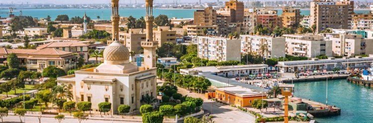
Port Sa’id is located in the northeastern corner of Lower Egypt, on the northern gate of the Suez Canal. It’s bordered by the north Mediterranean Sea, south Ismailia, east North Sinai, and west Damietta. Its geographical location played an important role in this regard, since it is located at the historical crossroads between East and West on the top of the Suez Canal.
“Port Sa’id” is a compound name derived from French, meaning ‘marine harbor’, and ‘Sa’id’ referring to Egypt’s ruler, Muhammad Sa’id Pasha, Muhammad Ali’s son. It essentially means Port of Sa’id, named after the city established during his reign in 1859 at the entrance to the Suez Canal.
Port Sa’id is called The Martyred City because its men, women and children defended whole Egypt during Suez Crisis (the Tripartite Aggression) in 1956 against England, France, and the occupying power, Israeli, where the city was suffering from airstrikes and naval fleet attacks throughout the day. The next morning, on 6th of November 1956, the operations of deploying opposing forces on the coast began in Port Fuad. The resistance has continued, hence, Port Sa’id had to bear the first waves of invasion.
The area in which Port Sa’id has been established, northeast of the Delta and overlooking the Mediterranean, was known in the previous centuries as Al-Farma. It is 28km far from Port Sa’id, located on the eastern edge of Lake Manzala, in a barren plain between the lake and the dunes. It was one of Egypt’s important fortresses and trade centers.
In 1840, Linan Bey developed a plan to dig a canal running between the Mediterranean and the Red Sea. This canal would provide a shorter, cheaper, and more suitable means of trade and travel from Europe since it allowed ships with heavy cargo to commute faster between Suez and Al-Farma. He also suggested the building of protrusions at the entrance of the canal on the Mediterranean Sea to protect it from the Nile’s sediments, which are dumped on the sea coast. Consequently, several other projects developed by several engineers.
On January 5, 1856, Sa’id Pasha issued the second concession firman in which he renewed Ferdinand de Lesseps’ concession to dig the Suez Canal. The first concession was released on November 30, 1854 without specifying the location of the port.
On April 25, the International Committee (IC) held a meeting in which several agreements were concluded, including the decision to build a lighthouse at the entrance to guide incoming ships. The committee also decided to establish workshops and all the facilities needed to set up these workshops, to construct a bridge running from Port Sa’id and across the sea. This would also serve as a dock for ships to unload their goods.
On April 21, 1850, De Lesseps arrived in Port Sa’id accompanied by Monsieur Mogel Bey, General Director; and Monsieur Laroche, Monsieur Hardon, along with other project heads, agents, and one hundred and fifty sailors, drivers, and workers. Monsieur De Lesseps determined that the site was suitable for the canal project.
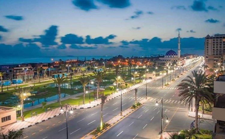
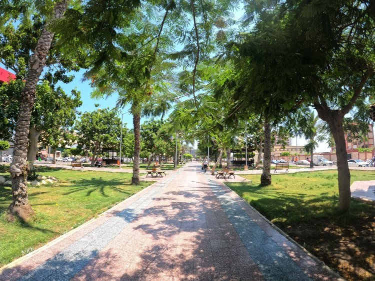
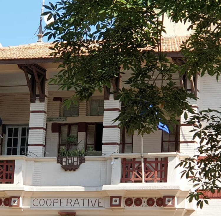
The streets of Port Sa’id are characterized by their wideness, symmetry, and intersections. All the streets are parallel to the canal and they lead from the sea to the desert. Based on that, Port Sa’id acquired a European character, inspired by French urban planning. The city was also lit with gas lamps, and in this way, it was truly a unique city in its time.
Port Sa’id was initially divided into two main sections, each having its own distinctive features. The first section is the city, located directly west of the Suez Canal. Here resided foreign communities as well as few Egyptian citizens and Arabs. The second section is an Arab city where a larger community of Arabs and Egyptians lived.
Port Sa’id includes many archaeological monuments and tourist sights:
Port Sa’id National Archeology Museum: It’s located at the confluence of the Suez Canal and the Mediterranean Sea. It’s considered the first museum of its kind in the history of Egypt, as it contains around 9000 artifacts representing all eras, starting from Ancient Egypt (Pharaonic era), passing through Greek, Roman, Coptic, Islamic, and finally modern era.
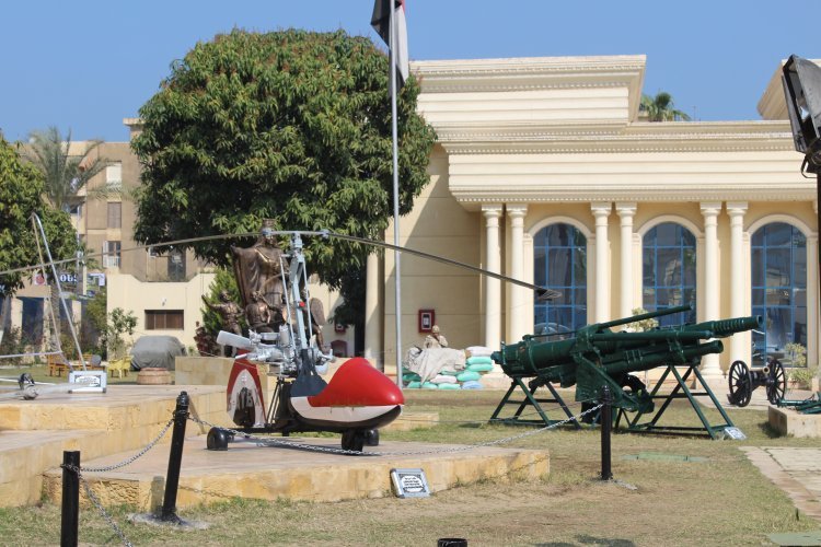
Port Sa’id Military Museum: It includes stereoscopic paintings that embody the 1956 battle, in addition to military remains and tools for 1956, 1967, 1973 wars.
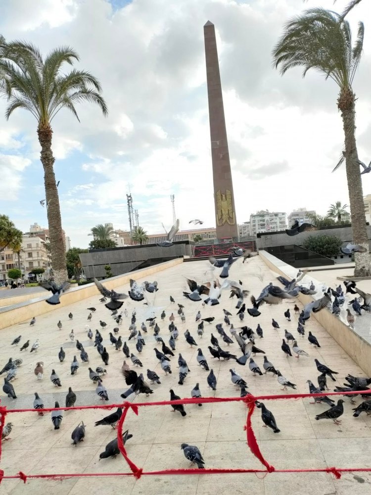
De Lesseps Statue Base: It’s found at the entrance to the Suez Canal, along Palestine Street, where ships from all over the word pass. This fact made it a tourist sight.
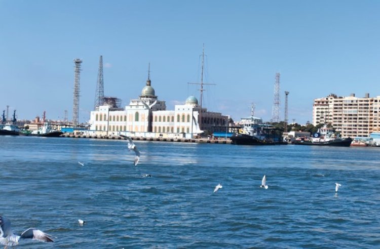
Suez Canal Authority Building:
One of the most significant monuments and tourist sights which receive visitors and fans in Port Sa’id. It can be described as the main historical building that includes offices and management of the Suez Canal Company in Port Sa’id, where it was and still used to monitor vessel traffic passing through the canal. The building is also characterized by magnificent architecture and unique location on the shore of the canal.
The cornerstone of the building was laid in 1895 and inaugurated in 1906 in the era of Khedive Abbas Helmy II. England purchased the building in World War I to be the headquarters of the British Army command in the Middle East. The building had a VIP lounge attached to it where King George V resided in 1911. And it is stood by General Hugh Stockwell, the commander of British Forces during the Suez Crisis (Tripartite Aggression) in 1956 as a residence, and also as a lounge for the British soldiers during World War II.
The building is designed to contain as many offices as possible. It contains about 300 rooms distributed over the floors of the building. The ground floor contains 60 doors that lead to a set of internal rooms.
The dome building occupies a rectangular area that can be divided into two parts. The first part is the facade of the building and is retracted inward at the two wings bearing the central dome, while the two wings carry a smaller dome.
The building was designed in the form of a palace from the inside, and the layout from the inside and outside is characterized by symmetry in terms of entrances, doors and pivot windows on the sides of the walls overlooking the corridor or the balcony, and all rooms in the two wings are equal in length, width, and height.
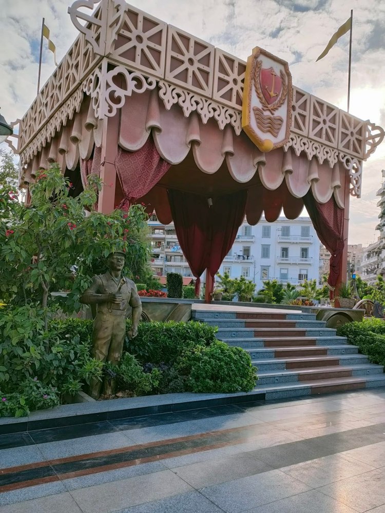
Tombs of Martyrs: It is located in front of the governorate office building and was established in memory of the Port Said martyrs in their battles.
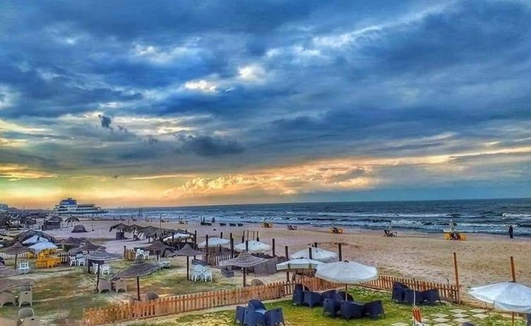
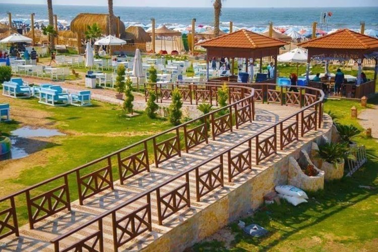
Al- Nawras Resort: It is located in Tarh al-Bahr Street. It has a variety of playgrounds, physiotherapy centers, an amusement park, 300 units for holidays, an auditorium, a shopping center and swimming pools.
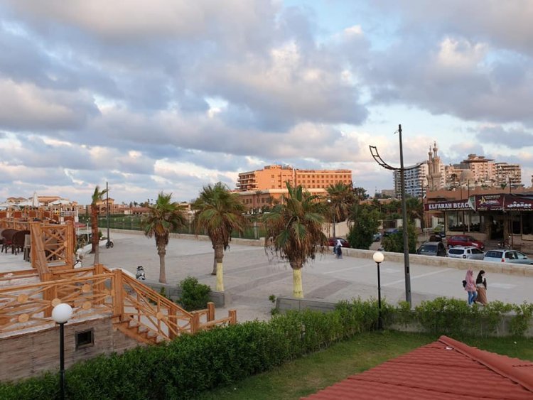
The Coastal Walkway (Corniche of Port Said): It’s parallel to the wall of the harbor and Tarh al-Bahr Street.
Areas for those who are into fishing: Al-Gamil Bridge - Hajar Said - Al Tafria - Port Fouad Services Bridge.
Tinnis Island: It is about 9km away and can be reached by boat from Port Said Naval Station.
Abdel-Rahman Lutfi mosque.
Co-Cathedral of Our Lady and St. Michael (Roman Cathedral): It was established in 1931. It contains a part of the Holy Cross and Sainte Eugenie Church, which was established along with the inauguration of the canal.